Delhivery has launched Delhivery Maps, an AI-native suite of geospatial APIs designed to navigate India’s complex address landscape. The announcement was made on the occasion of the company’s 15-year anniversary.
Delhivery Maps
The platform is built as proprietary infrastructure powering 100% of Delhivery’s nationwide network and extends its logistics systems into a commercial mapping offering for external enterprises, developers, and gig-economy platforms.
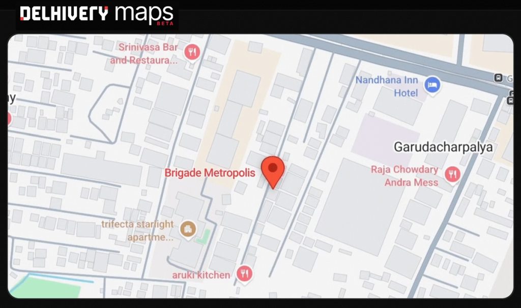
It is designed for commercial shipping and integrates logistics-specific factors such as vehicle speeds, routing constraints, incomplete addresses, and landmark-based navigation, unlike consumer maps focused on passenger travel.
The platform is trained on large-scale logistics telemetry, including:
- Over 2 billion shipments of historical data
- Around 1 billion daily GPS pings
- Data from 100,000+ active vehicles
It replaces Delhivery’s reliance on external mapping providers across Express Parcel, Part-Truckload Freight, Supply Chain Services, and Delhivery Local, improving control over routing performance, data consistency, and scale.
Key features
The platform is powered by Naksha LLM, a set of geospatial reasoning models that replaces rigid databases with dynamic reasoning systems.
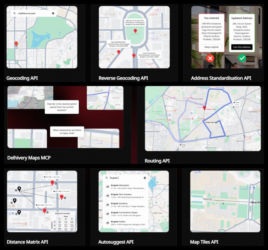
Core API suite includes:
- Auto-Complete
- Geocoding and Reverse Geocoding
- Vehicle-Aware Routing
- Navigation APIs
- Distance Matrix
- Map Tiles
By making both APIs and Naksha LLM available on the Delhivery Maps MCP, the platform enables developers to build AI workflows and autonomous agents using advanced location intelligence.
Industry use cases
Delhivery Maps is designed to address operational gaps in traditional mapping systems across:
- Quick commerce
- Hyperlocal delivery
- Ride-hailing
- Gig-economy logistics
Key applications include:
- Geospatial analysis
- Address validation
- Resource match-making
- Route planning
- Navigation
- ETA calculations
- Reduction of delivery friction and operational errors
Integration
Delhivery Maps APIs are available for commercial integration. Enterprises and developers can use the platform to improve logistics workflows, checkout experiences, and dispatch operations.
Availability
Delhivery Maps is live and available for commercial integration by enterprises, developers, and gig-economy and logistics platforms.
Speaking on the launch, Kapil Bharati, Executive Director and CTO of Delhivery, said:
We built Delhivery Maps out of operational necessity to run India’s largest logistics network intelligently and solve for unstructured addresses and commercial routing rules at massive scale. Opening up the APIs and AI models externally marks our entry as a commercial geospatial infrastructure provider.